Exploring the Types Of Cyclones
Most people don’t realize that the word “cyclone” actually refers to several different types of storms. Some of them occur over land, while others occur over water.
You will find, what all of the different types of cyclones have in common, is that they all spin around low-pressure centers.
Also, the difference between high pressure and low pressure always plays a major component in the formation of all cyclones.
This article will offer an introduction to the different types of storms that can be considered cyclones to help clear up some of the confusion surrounding these uncommon, but fascinating weather phenomena.
The Eye of the Storm
What differentiates all of the different types of cyclones from other inclement weather events is that they all rotate around what’s often called the “eye” of a storm.
The eye of the storm creates the eerie calm often associated with cyclones.
While the storm’s eye remains almost completely calm, the areas surrounding it can be incredibly hectic as a cyclone’s spinning “arms” create a maelstrom of wind and rain.
A Storm By Any Other Name
Not only does the word cyclone actually refer to a variety of different kinds of storms, but in certain regions what’s called a cyclone would be known as something else.
Storms that fit this description in the Atlantic Ocean or the Pacific Northeast would be called hurricanes, for example.
In the Pacific Northwest, the same kind of storm would be known as a typhoon. Elsewhere in the world like in the South Pacific or the Indian Ocean, it would simply be called a tropical cyclone.
No matter what name these storms are given, they’ll still wreak havoc with the areas that effectively become part of the local weather.
The high winds, the cyclonic action, as well as the copious amounts of rain, are generally the weather actions that raise heck within the areas these storms strike in.
Tropical Cyclones
When most people think of cyclones they’re almost always thinking of tropical cyclones, which occur over oceans in tropical regions.
The hurricanes of the Pacific Northeast and the typhoons of the Pacific Northwest are formed in the same way as tropical cyclones.
Geography Causes the Name to Be Different
But they are different, because of where they are located geographically in the world. So then I can conclude that when I hear the term tropical cyclone, it is actually talking about, a storm that is occurring or has occurred in the South Pacific or in the Indian Ocean.
So a tropical cyclone can be called three different names right off the mark.
Tropical cyclone names are
- Typhoons
- Hurricanes
- Tropical Cyclone
Also, you should know that tropical cyclones are categorized according to wind speed so it’s also common to hear a weatherman refer to a category one, two, three, four, or five cyclones.
Category one cyclones may be weaker than category two storms, but they can still do some serious damage.
Winds have to reach between 74 and 95 miles per hour for a storm to even be considered a cyclone.
Needless to say, category five cyclones, with winds that reach upwards of 155 miles per hour in speed, can do a substantial amount of damage.


With these storms, often they will be, both radically strong wind events, as well as many of these, bring hundreds of millions of dollars of personal property damage to an area.
Often power losses result, as well as large areas of flooding are par for the course.
Polar Cyclones
As the name implies, polar cyclones occur only in very cold regions like Siberia, Greenland, and the Antarctic. They’re most active in the winter but unlike tropical cyclones, they tend to affect less populated areas.
The damage from polar cyclones tends to be minimal so it’s rarer for inhabitants of tropical or temperate climate zones to hear about them on the news.
Mesocyclones
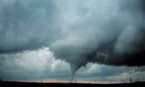
This type of cyclone can be thought of like the bridge between a thunderstorm and a tornado. This is easy enough to remember once you are armed with the knowledge that “meso” actually translates to “middle.”
Not all mesocyclones lead to tornadoes, but tornadoes can’t form without them. In order for tornadoes to occur and begin touching down on the ground, the clouds associated with a thunderstorm have to start spinning and form a mesocyclone.

This intermediary stage in the formation of tornadoes isn’t typically visible from the ground since it occurs in the clouds, themselves.
Mid-Latitude Cyclones
Okay so this area is a bit tricky, I will give it my best shot. The second part of this will be covering Bomb Cyclones, which have been in the news lately.
The Midwestern area of the United States was ravaged by a record-setting bomb cyclone on Wednesday, March 13, 2019.
Further discussion is needed to understand this very large, intense weather situation.
How A Mid-Latitude Cyclone Is Formed
Mid-latitude cyclones form only occasionally, but usually the extreme temperance differences between what the Northern pole area of North America is producing versus what the Equator area of our hemisphere is producing.
As the temperature differences start to collide, these massive cyclones may form due to the dramatic uplifting of warm air over cold air. The more radically active this airlift is, the more clouds form and then you will have tremendous convection currents being built in. So this is definitely low-pressure system weather.
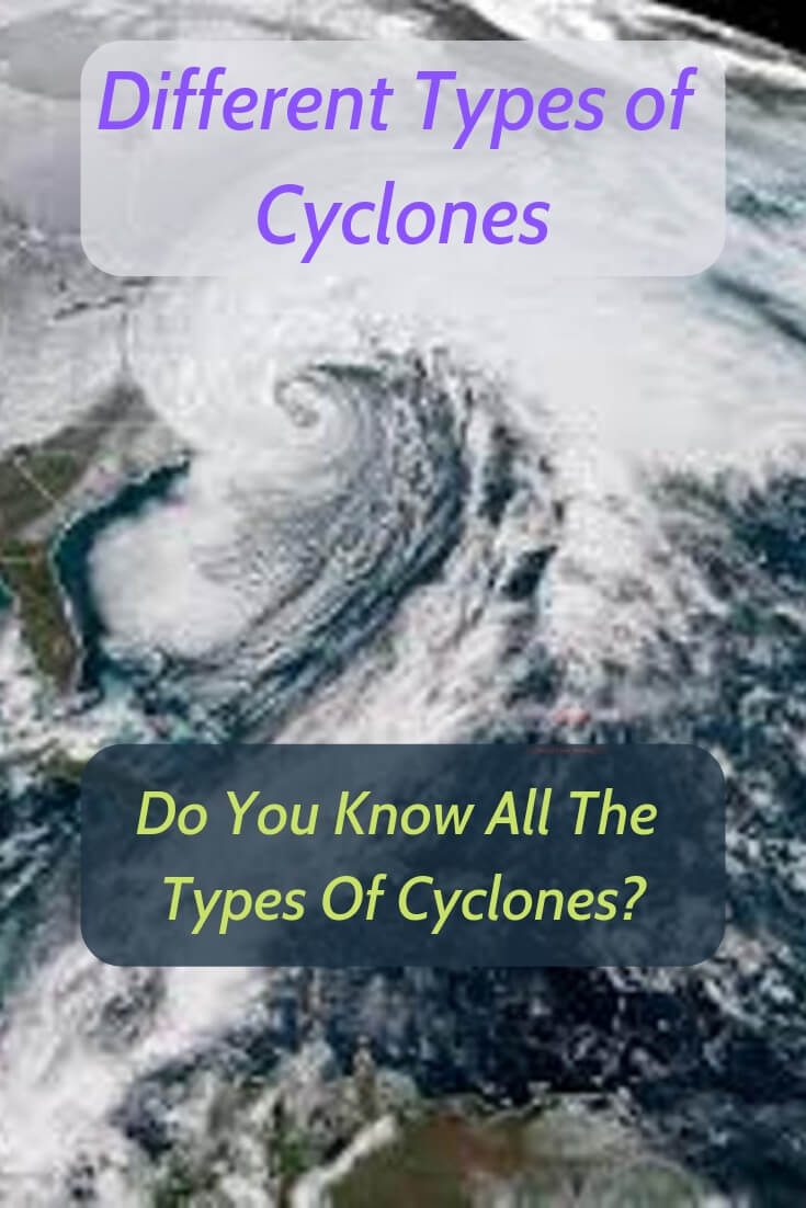
You can see in the picture below just how extraordinarily large these cloud formations become. As this happens there is a massive shift in the barometric pressure in the collision (convergence) area occurs.

An intense mid-latitude cyclone may have a surface pressure as low as 970 millibars, compared to an average sea-level pressure of 1013 millibars.
In fact, the Pueblo, Colorado, National Weather Service station recorded that the barometric pressure dropped to only 968 millibars of pressure.
This is very low and winds were recorded in Colorado Springs, Colorado at 97 mph.
In the normal formation and life of these huge weather events, each individual frontal cyclone will exist for about 3 to 10 days. Usually these travel in a west to east direction.
The Areas Where Mid-Latitude Cyclones Form
There are three major areas that very often present these specific conditions to form actual mid-latitude cyclones. You will need a low-pressure system weather setup.
Where these are usually produced, can be either in the Gulf Of Mexico, off the East coast of the United States, or thirdly, the eastern side of the Rocky Mountains.
The March 13th event formed in the eastern side of the Rocky Mountains in Eastern-New Mexico and Colorado area.
These cyclones are usually cold-weather events, which can lead to extremely tricky and treacherous driving conditions for huge areas of landmass. This was widely reported from the bomb cyclone of March 2019.
Many times, the mid-latitude cyclones will cover an area as large as reaching 625 to 1,600 miles (1,000 to 2,500 km) in diameter.
They also can pack winds up to 75 mph as an example of how severe they will be. Wind speeds were recorded at over 90 mph in many different states in this recent event.
With the wind gust being measured at 70 mph in Denver, and 89 mph in Dallas, Texas. This further proves how powerful the mid-latitude cyclones really are.
Many times these are larger wind events than they are wind and precipitation events. While heavy snows were recorded in areas, the major damages were from the cyclonic wind activity.
What are Bomb Cyclones?
These are also referred to as weather bombs, these cyclones actually are the same thing as what I just described up above.
They are mid-latitude cyclones. So as they are latitude dependent, usually a mid-latitude event as was described above as well.
So if you are looking for specifical information on what is a bomb cyclone, you can get the same information about it as you would searching for what is a mid-latitude cyclone?

So bomb cyclones form differently from tropical cyclones, but they are categorized in the same way on one to five numeric scales.
As with other major cyclones or hurricanes, bomb cyclones are now named as well.
Most people will never see a bomb cyclone since they are typically maritime, winter events. Very unlike what just happened in the midwest.
They can, however, still occur during other seasons and in continental settings, and when they do they bring heavy precipitation and often significant damage.
My Cyclone Summary
In summation you ask, “are all cyclones low-pressure system weather?”, the answer is definitely yes. The pre-requisites for all cyclones and cyclone activity is an area of low pressure where air masses meet and rise.
Secondly, also, a huge difference between low pressure and high pressure will exist as well. These conditions must be present to have a cyclone.
Whatever type of cyclone depends on seasons, latitude, as well as locations, they all play a large part.
So whether it is a mid-latitude cyclone, a hurricane, a typhoon, or a tropical cyclone.
Read More Articles on General Weather Subjects-View Related Posts Below

Weather Stations help gardeners quite a bit. Grow a better garden with the guidance of a personal weather station.
 Tornado Alley Season Starts-So What About It?
Tornado alley season starts shortly. We want you to be aware of it. Where it is and the very large why this is important to you and your family’s safety.

Weather Enthusiast’s Journey
From an early age, I discovered the profound impact weather has on our lives.
A stormy day can disrupt your plans, while perfect weather feels like a precious gift meant to be savored to its fullest.
Through this site, I’m passionate about sharing my expertise on weather instruments and their practical applications for enhancing your daily life.
I’ll show you how a personal weather station can transform your home experience, giving you valuable insights about conditions on your specific property.
Explore my discoveries and gain the knowledge to truly understand the weather patterns in your area.
Welcome to a community where weather isn’t just small talk—it’s a fascinating science that connects us all.

